


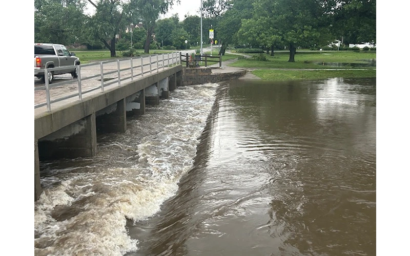
A combination of high winds and very heavy rain moved across central Kansas early this morning, bringing with it a considerable amount of damage and flash flooding.
The McPherson area took the brunt of the storm, with Doppler radar estimates of between 3-4 inches up to about 6 AM. McPherson National Weather Service Cooperative observer Jerry Bruce had 2 ½ inches of rain in his gauge which due to the wind likely didn’t catch all of what fell. Extensive flooding has been reported in the McPherson area, and Bruce told Ad Astra News there have been streets flooded in McPherson that have never flooded before.
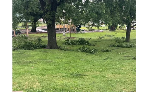
The winds brought widespread tree damage to the area. Hutchinson Regional Airport clocked 89 mile an hour wind gusts between 3:30 and 4:00 AM, with a nearly 90 an hour gust at the McPherson airport. Eisenhower National Airport in west Wichita reported a peak gust of 101 miles an hour.
At one point, Evergy reported over 3,900 customers without power in Reno County alone, though over half of them have had power restored. About 1,000 customers lost power in Harvey County, and at one point some 700 customers in McPherson County were off, mostly around Canton and Inman.
Midwest Energy reported just over 500 customers without power in Rice County at one point, mostly in Little River with some in Lyons. Around 350 customers in northern Stafford County were also without power, mainly around Seward and to the north of Radium.
Another round of severe storms may impact the area later today into tonight. The Storm Prediction Center has a level 4, or moderate risk for severe storms for areas to the west of-135 and generally south of K-4, with a level 3 or enhanced risk for the remainder of central Kansas. All modes of severe weather are possible later today.
An update will be made later today.